Tarryall Mtns: Pt10190, Pt11271, Pt11060, Pt11306, Tater Top
Total: 15.25 miles, 3,800'
Derek and Rufus

View west from Pt 11060
Pt 10190
|
Pt10190: 1 mile, 320'
From the intersection of 285 and Lost Park Road, head about 3.2 east to the intersection of forest road 130. Park here, or you can drive up 130 a little ways. No sense really, since it doesn't save much distance. Headed more or less straight west, eventually angling south to search for the not very evident summit. Summit area is large and covered in aspens. Enjoyed the sunrise and finished my cup of coffee, taking in the views of the day ahead of me to the Southeast. Nice easy way to wake up the legs. |
|
Pt 11271
|
Pt11271: 3.5 miles, 1,100' (LCW summit)
Continued down the Lost Park Road for another 15 or so miles (over Lost Pass) to forest road 134. There is a sign indicating the North Fork TH and Colorado Trail access. This road requires 4WD to access the TH. It is about 3 miles from Lost Park Road to the TH. From the TH, we followed the CO trail as it headed NW, then broke off and headed NE up a creek. We found an old (very old) road that was overgrown, but still allowed easy ascent. Eventually, we left the road and headed east until we hit the ridge leading us to 11271. From here it was easy to the top. Not the greatest views, but did allow a view of Windy Peak which Rufus and I had summited a couple weeks prior. Descended our same route back down. Unless you are working on a list (like the Lost Creek Wilderness list) I cant really recommend this peak. Kinda boring. |
|
Pt 11060
|
Pt11060: 1.25 miles, 600'
Once we returned to the TH from 11271, we drove back out forest road 134 the way we came in. On the way back out, I pulled off the road when we were due north of Pt11060. There is a nice pulloff right next to a HUGE tree/brush pile. (See picture.) Nothing complicated about this one. Headed due south all the way up. Followed a tree cut path a lot of the way. Sad to see so much logging up here, and less than a mile from the LCW boundary. This summit is GREAT. Fantastic views to the west, way better than I would have expected. Highly recommend this little hike to anyone in the area looking for nice sights. Descended same way to the truck. |
|
Pt 11306 ("The Lost Potato") and "Tater Top"
|
Pt11306 and Tater Top (LCW Summit): 9.5 miles, 1800'
Continued south on Lost Park road to the intersection of forest road 853. Parked here, but it is very easy to drive up a ways with moderate clearance. In the mood to walk, so we parked it. Followed 853 for a couple miles until we reached a large, tree cut meadowy area. From this area, we headed SSE to the low point between Pt11306 and Tater Top. Headed to 11306 first via its mellow SW ridge. Rocky, "tarryall" style summit. No real views. However the Garrett summit register referred to the peak as "AKA Lost Potato". Thought that sounds better than Pt11306. Descended back to the saddle, ascended up the long N/NE ridge of Tater Top. Weather moved in with lightning, so our summit stay was brief. Which stunk, since it was the best summit of the day. Ran down from the storm, got in a couple of rain appearances, but easy descent back to the truck. HIGHLY recommend Tater Top. Fantastic little summit area. |
|
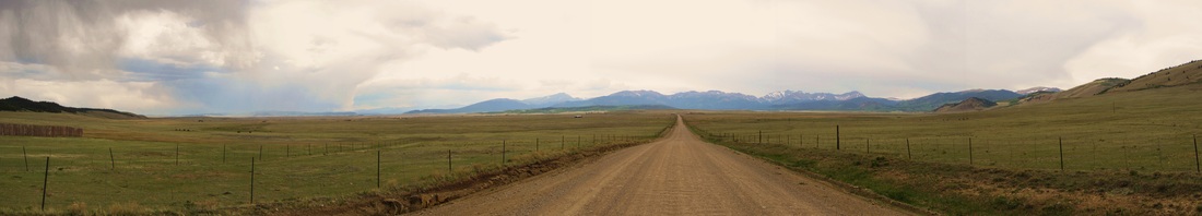
View west on the way home.